Service
Geospatial Surveys
Topographical, boundary, engineering, aerial, LiDAR, GIS, bathymetric and geophysical surveys.
Scope
What this service includes.
- Topographical surveys.
- Boundary surveys.
- Engineering setting-out.
- UAV / drone surveys and aerial mapping.
- LiDAR surveys.
- GIS mapping.
- Bathymetric surveys.
- Geophysical surveys.
- Other related surveying services.
Survey equipment on our books
Aerial, satellite-positioning, optical, hydrographic and geophysical instruments, listed with descriptions in our equipment catalogue.
See survey equipment →Instruments
The equipment behind our surveys.
These instruments are also available for hire. Select one to see its description and request a quotation.
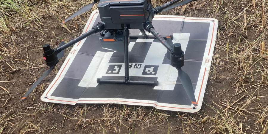
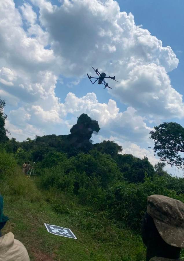
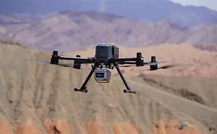
Aerial Survey Drone (UAV)
Aerial mapping and photogrammetry.
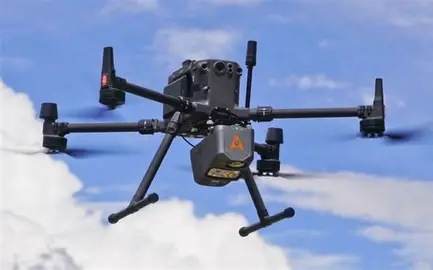
LiDAR Sensor
3D terrain and corridor mapping.
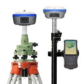
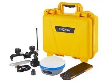
RTK GNSS Equipment
Control, topographic and setting-out surveys.
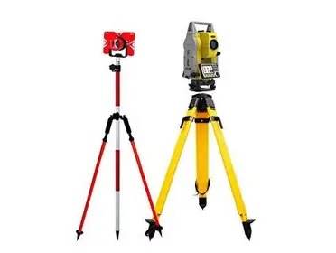
Total Station
Setting-out and detailed surveys.
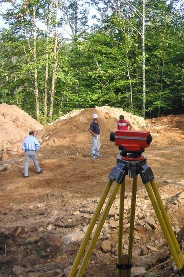
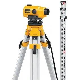
Automatic Level
Levelling and height control.
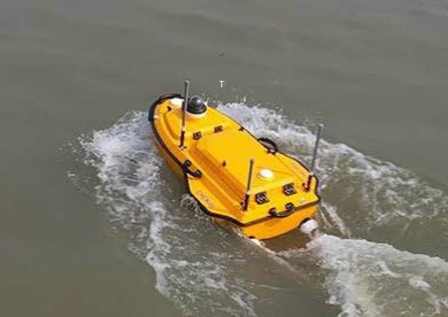
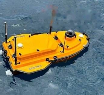
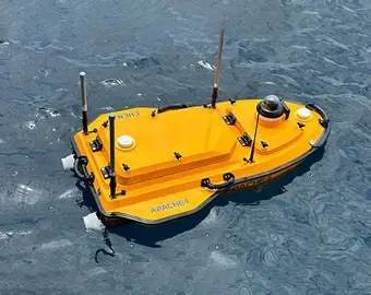
CHCNAV APACHE 4 USV
Bathymetric surveys of lakes, rivers and reservoirs.
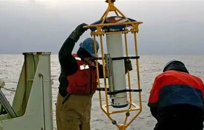
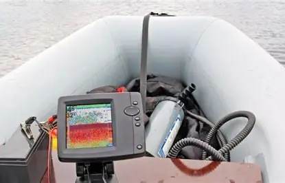
Echo Sounder and ADCP
Depth and flow measurement.
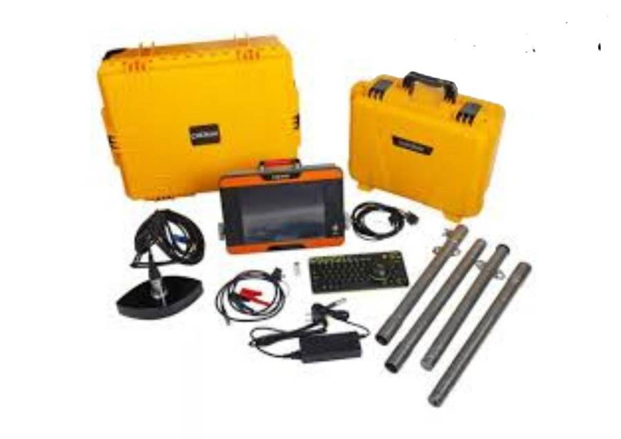
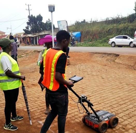
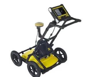
Ground Penetrating Radar
Subsurface investigation.
In the field
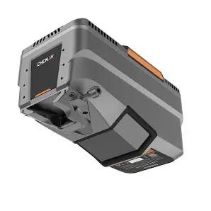
Survey equipment at work.
Photographs of our survey instruments and field work.
Need a survey or survey equipment?
Tell us the site, purpose and deadline and we will reply with a quotation.